 When members of Salem's GIS (Geographic Information System) Team attend the 2023 Esri User Conference in July, they'll bring home more than just the usual conference swag. They will receive a Special Achievement in GIS Award.
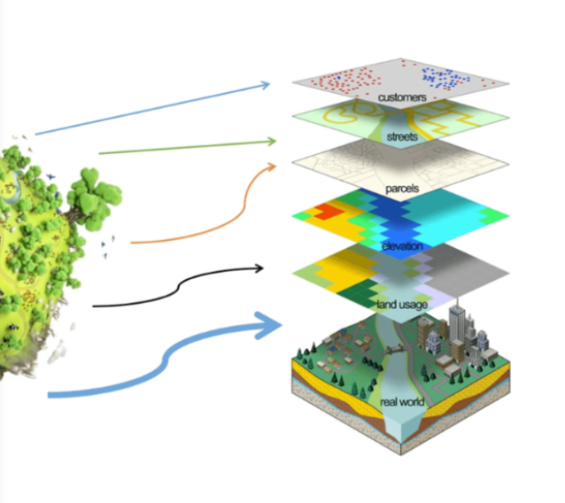
This award is given annually to only 200 user sites around the world to recognize outstanding work with GIS technology. Salem also received this award in 2012 and 2017 for its expanded use of data to improve collaboration, efficiency, and communications in City government. Our GIS experts are working with teams throughout the City to provide the best data and location intelligence possible.
Examples of how our staff use this data include to:
- analyze critical information on mobile devices
- prioritize replacement of City infrastructure
- determine where to send first responders in times of emergency
- model future enhancements to the transportation network
Salem was awarded this year for several programs centered around data collection. Recently, GIS professionals have been using Light Detection and Ranging (LiDAR) and 360-degree imagery data to populate transportation assets in the Geographic Information System for sidewalks, signs, striping, ADA ramps, and pavement condition to support management of work orders, service requests and inspection in Cityworks, the new asset management system. They use this information in conjunction with Esri's Roads and Highways system, to allow more accurate information on management and reporting of data on transportation assets.
Second, our Public Works Drone Program is being recognized for its inspiration to other local governments, as a successful public works implementation. Our drone program is currently used for planning projects, assessing emergency situations, analyzing ground conditions, and capturing photos and videos for community outreach.
Congratulations, GIS Team, for your award and for helping to bring better and more detailed data to City operations and decision-making.
GIS examples:
2022 Year in Review
City of Salem Drone Program